Dayboro Scenic Pocket Loop – A Hidden Gem in Brisbane’s Cycling Scene
If you’re after a ride that blends rural charm with coastal views, the Dayboro Scenic Pocket Loop is your next go-to route. This 140km loop with 1,600m+ elevation gain is a rewarding challenge through Brisbane’s lesser-known backroads and the stunning bayside stretches of Moreton Bay.
From steep rural climbs to winding quiet descents, this loop packs three hidden “pockets” of adventure. While it includes some busy road sections, the scenic detours make it well worth your effort.
Route Breakdown
Brisbane → Samford Village
Start your ride from Brisbane and head northwest via Samford Road. This road is rolling and fast, but can be quite busy on weekdays, so we highly recommend riding early on a weekend. You’ll pass through a mix of suburban and semi-rural landscapes before reaching Samford Village.
Tip: Samford has plenty of options if you want a quick refreshment or toilet stop before hitting the first pocket.
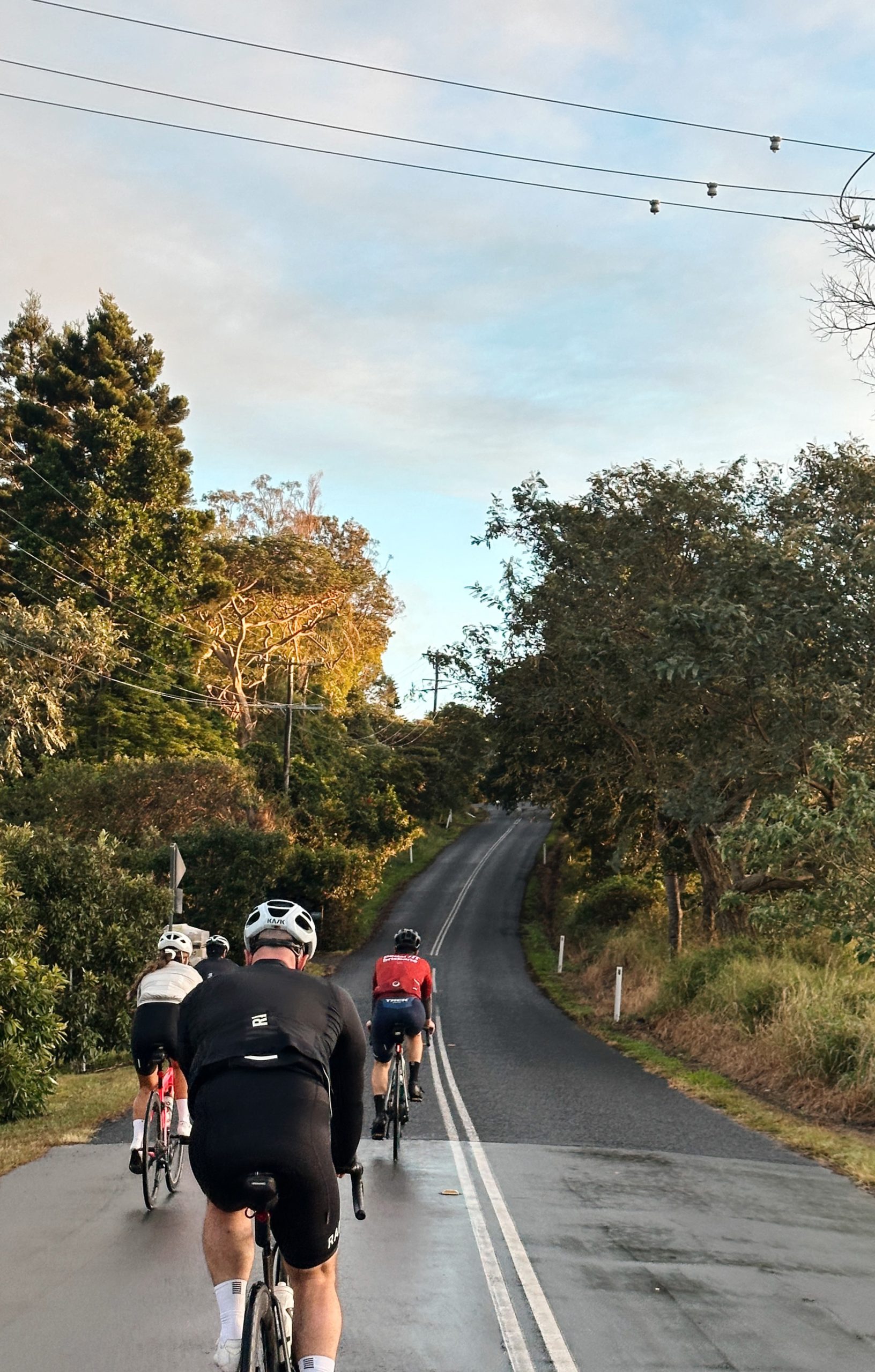
The fun starts with a sharp left turn off Samford-Dayboro Rd. This road kicks off with a challenging climb ranging between 6% and 15%, with a short dip in the middle before another climb. Once you’re over the top, enjoy a flowy, extended descent back onto the main road. This is a punchy warm-up to what’s coming next.
2. Kriesch Road
Short but sharp! Similar profile to the previous climb, but the second segment features a brutal 19% pinch. It’s short enough to survive, but it’ll sting—especially if you’re chasing segments.
3. Kobble Creek Road
The longest and most scenic of the three pockets. Around 9km of undulating road, starting with a peaceful flat section before the climbing begins. You’ll face ramps up to 14%, with some stunning hilltop views before tackling another short but steep 17% pinch. After a longer descent and one final climb, you’ll pop back out to the main route.
Dayboro is a perfect halfway break. Several cafés, a public toilet, and even an IGA make it a cyclist-friendly stop. Grab a coffee, refill bottles, and load up on snacks before the next stretch
Dayboro Rd to Narangba – Ride With Caution
Leaving Dayboro, you’ll take Dayboro Road, a fast and narrow shoulder road with a 100km/h speed limit. It’s not ideal. If you’re not comfortable here, consider climbing Mt Mee to Caboolture for a safer (though longer) alternative.
Narangba Valley → Deception Bay → Redcliffe
Once you’re off Dayboro Rd, the ride improves drastically. The roads through Narangba Valley are quiet, rolling, and enjoyable. A smooth descent leads you to Deception Bay, and from there to Redcliffe. These segments include some mixed road traffic, but the bike lanes are generally decent.
Bayside to Brisbane: Scarborough → Nundah → City
Welcome to the final flat stretch! From Scarborough, follow the scenic coastal bike paths and roads back toward Brisbane City. It’s mostly flat but be warned: the winds here can be strong. On a good day, you’ll get a tailwind; on a bad day, it’ll be a 60km grind.
Final Thoughts: Why Ride the Dayboro Scenic Pocket Loop?
The Dayboro Scenic Pocket Loop is one of the most rewarding Brisbane cycling routes if you’re up for a challenge. The combination of steep, quiet climbs and peaceful rural descents makes this ride a real standout—plus, the Moreton Bay views offer a relaxing finish.