
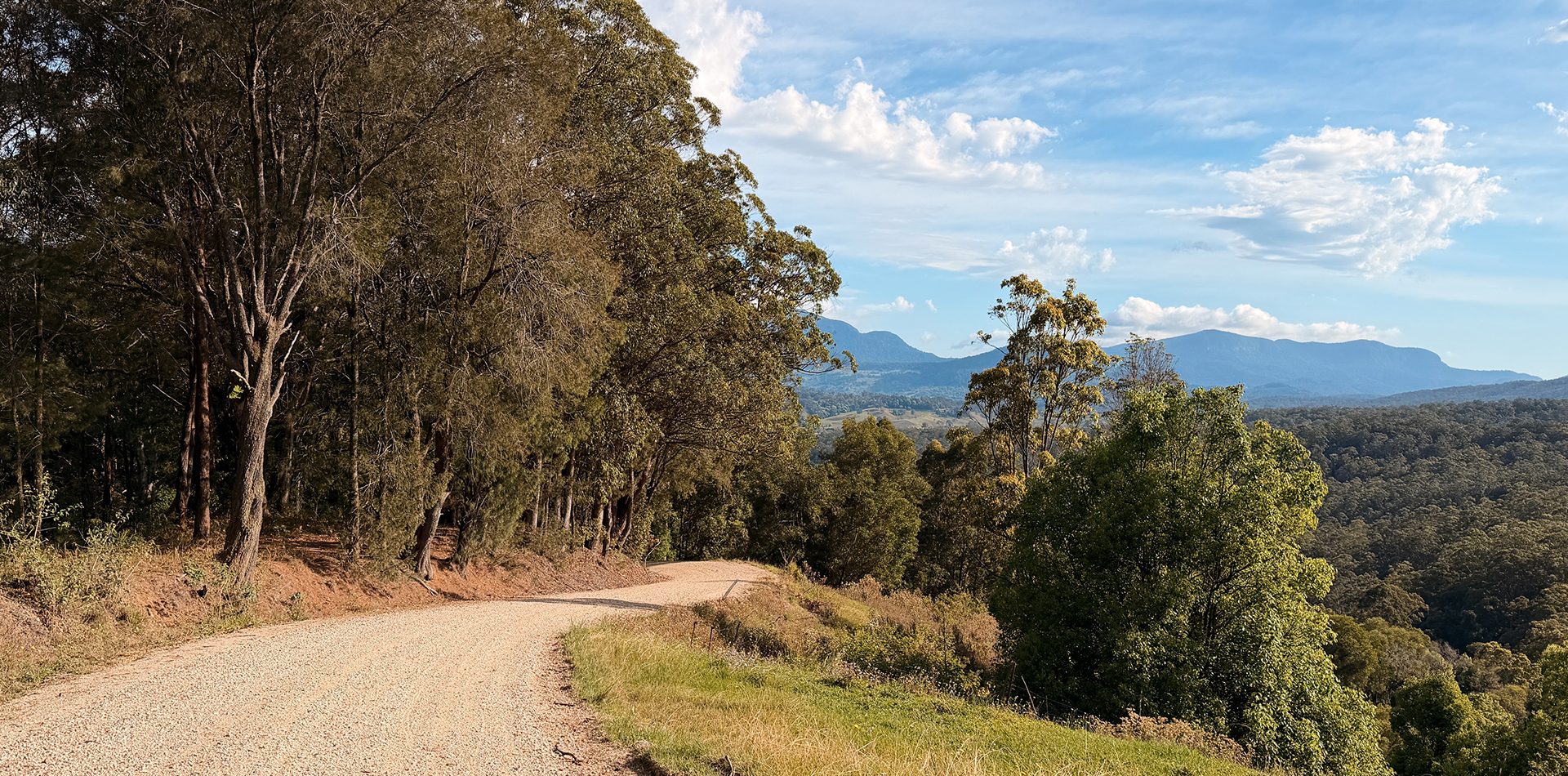
Wollumbin / Mt Warning Loop
Northern NSW
Type: Mixed Terrain
Difficulty: Medium – Advance
Distance: 140km
Elevation Gained: 2248m
Estimated Moving Time: 5-7 hours
Summary
Wollumbin / Mt Warning Loop: A Mixed-Terrain Cycling Adventure in Northern NSW
140 km of adventure, gravel, quiet country roads, rainforest and one seriously good burger stop.
If you’re looking for a cycling adventure beyond Brisbane, the Wollumbin / Mt Warning Loop is well worth the drive south. Starting and finishing in Murwillumbah, this route takes you through some of Northern NSW’s most beautiful landscapes, from the foothills of Wollumbin to the hidden back roads of Mebbin National Park, the winding roads of Byrrill Creek and the quiet countryside around Uki.
It’s not your typical road cycling loop. Expect a bit of everything: rolling tarmac, chunky gravel, technical fire trails, quiet country roads, punchy climbs and fast descents. It’s the kind of ride that keeps you guessing about what’s around the next corner.
We completed this route on road bikes, proving that it’s possible with the right conditions and some patience. However, if you’re planning to ride it yourself, a gravel bike with wider tyres would be our recommended option for a more comfortable experience.
For us, this was exactly what adventure cycling should be about: exploring unfamiliar roads, discovering hidden gems and finding new places to ride beyond our usual backyard.
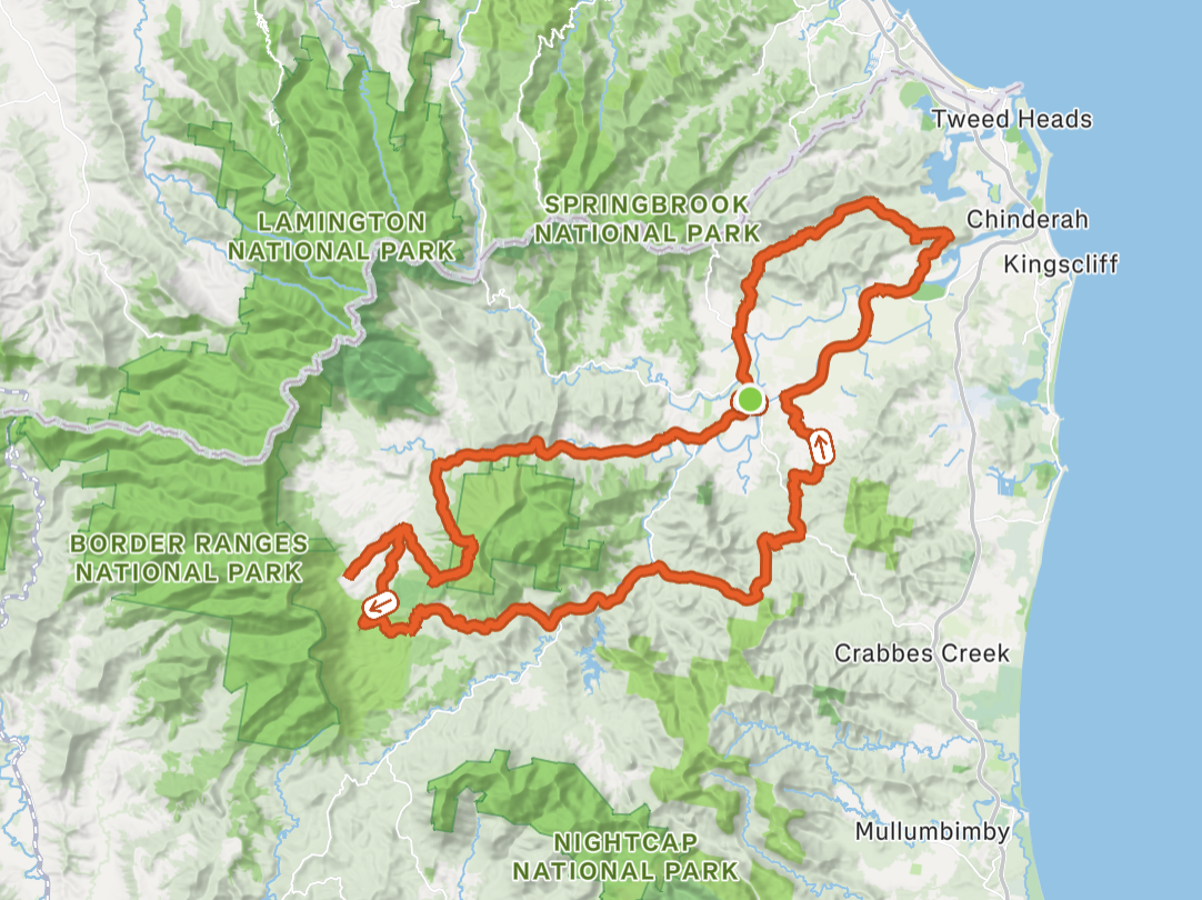
1. Murwillumbah to Wollumbin National Park (0–21 km)
Our adventure began in Murwillumbah, a charming town in the Northern Rivers region of New South Wales, sitting alongside the Tweed River.
We parked at Knox Park, conveniently located near the town centre. It’s a practical starting point, with plenty of options nearby to grab a well-earned meal after the ride.
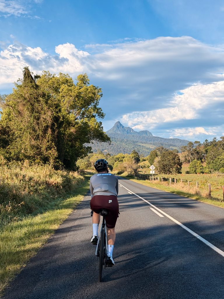
Leaving town, we headed towards Wollumbin National Park via Tyalgum Road. This opening section was a great way to ease into the ride, with relatively flat, rolling roads and beautiful views of the surrounding ranges. On a clear day, you’ll catch glimpses of Mt Warning rising above the landscape in the distance.
One thing we particularly enjoyed was how quiet this road felt compared with some of the more popular cycling routes around the region.
It’s a scenic and relaxed start, but don’t get too comfortable. The gravel adventure is just around the corner.
2. Wollumbin National Park: The First Gravel Challenge (21–35 km)
Turning onto Swifts Road marked the beginning of the gravel sections and the first major challenge of the day.
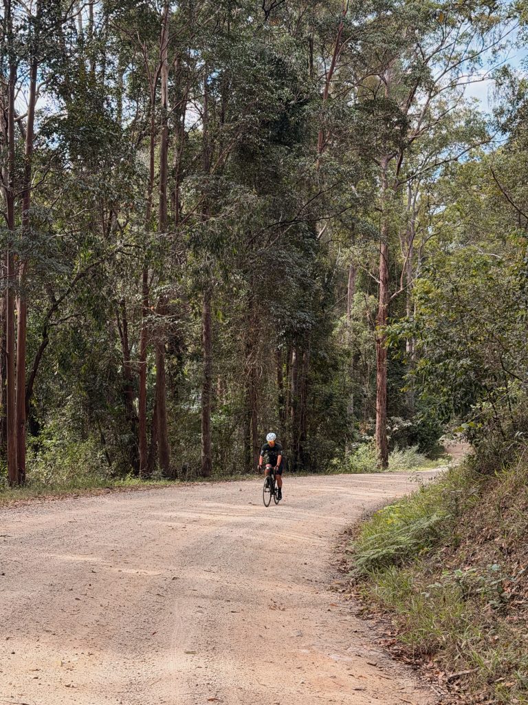
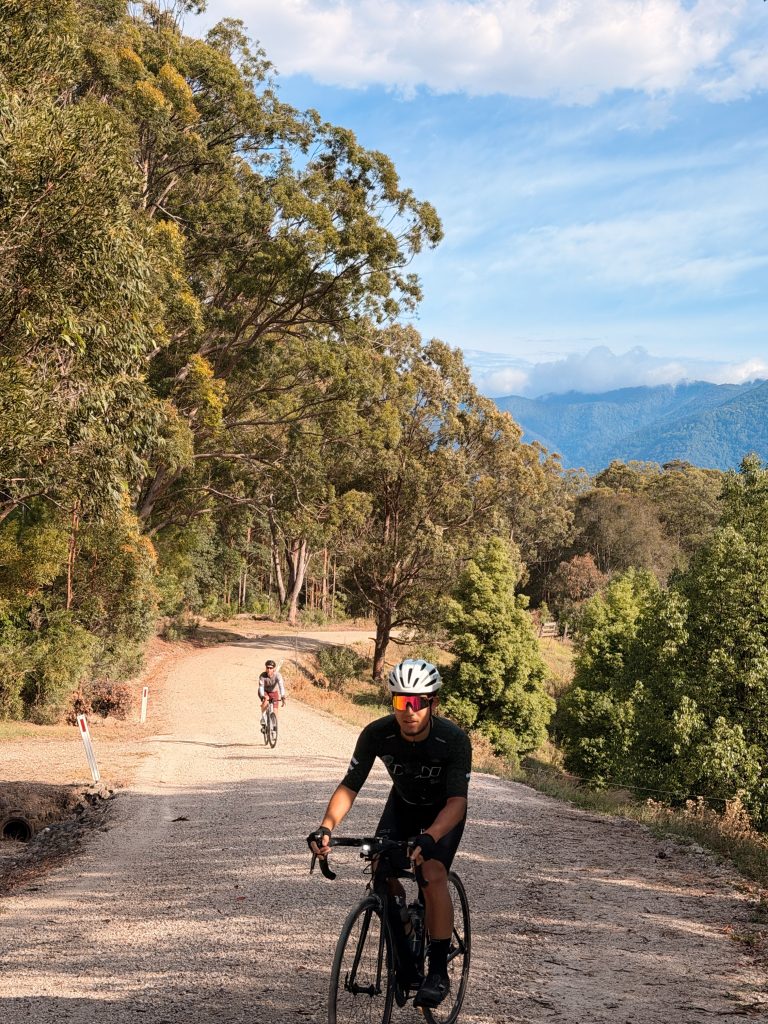
The climb starts on sealed road beneath a canopy of trees before transitioning onto gravel. The approximately 6 km climb is a mix of surfaces, with the first kilometre or so on tarmac and the remainder taking you deeper into the national park.
Initially, the gravel is relatively smooth and well-packed. As you get further into the park, however, the surface becomes rougher, with loose gravel and larger rocks demanding more attention.
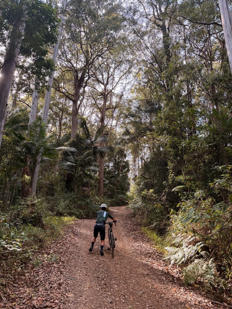
The gradient didn’t feel too extreme for most of the climb, although some sections were noticeably steep. Our Strava recording showed a maximum gradient of around 20%, so expect a few challenging moments.
This is where tyre choice makes a real difference. We managed it on road bikes, but narrow, slick tyres require more care, especially on loose or rocky sections. Wider gravel tyres will provide better comfort, grip and confidence.
After the tougher sections, the surface improves again as you make your way towards Back Creek.
It’s a challenging start, but the feeling of riding through the national park makes it worthwhile.
3. Back Creek Road: A Hidden Gem (35–44 km)
If there’s one optional detour we’d recommend adding to this route, it’s Back Creek Road.
This section was a pleasant surprise and one of those places that reminds us why exploring by bike is so rewarding. Away from the busier roads, the scenery and peaceful surroundings make this a beautiful stretch to ride.
It’s a scenic ride in and out, offering a welcome change of pace after the first gravel climb.
We’d highly recommend including it in your route. Just remember that adding this detour means a little extra distance and time, so plan accordingly.
4. Mebbin National Park: Wild Gravel and Fire Trails (44–55 km)
From Back Creek, we continued along the back roads around Brays Creek on our way towards Uki.
This was one of the more unpredictable sections of the ride. We hadn’t found much information about the roads ahead, so we weren’t entirely sure what to expect.
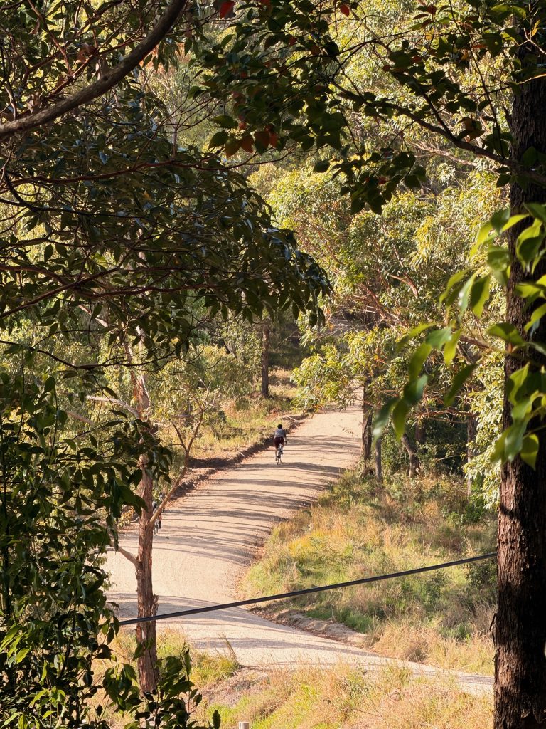
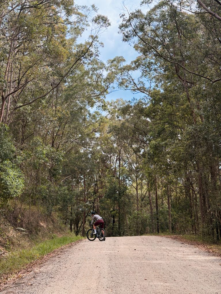
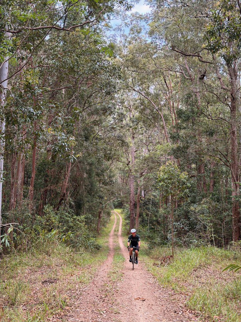
It turned out to be a wild and fun stretch through the Mebbin National Park area, with rough fire trails, rolling terrain and sections that felt far removed from the usual road cycling experience.
Some parts were narrow, almost single-track in places, and the surface varied throughout. Fortunately, we’d had a few dry weeks before the ride, which meant the trails were in relatively good condition. During the wet season, these roads can become muddy and much more difficult to navigate.
The gravel gradually improved as we approached Brays Creek, but this section is worth taking seriously.
For road bikes, the loose surfaces, rocks and narrow trails can be challenging. Gravel bikes are much better suited to this terrain, particularly if you want to enjoy the ride rather than constantly worry about tyre grip and bike control.
Our tip: Check recent weather conditions before riding this section. Wet-season conditions could significantly change how manageable the trails are.
5. Byrrill Creek: One of the Best Sections of the Ride (55–72 km)
After the technical gravel through Mebbin, arriving at Byrrill Creek felt like a reward.
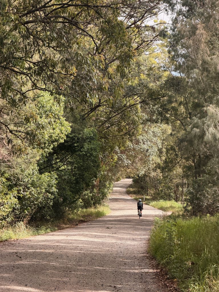
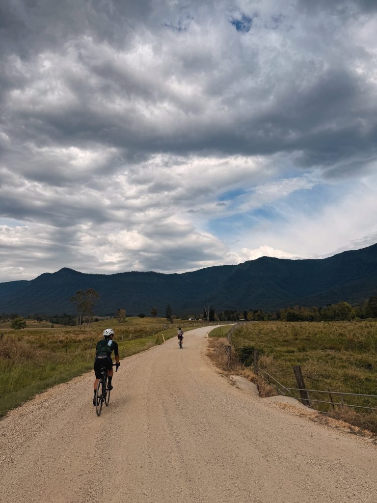
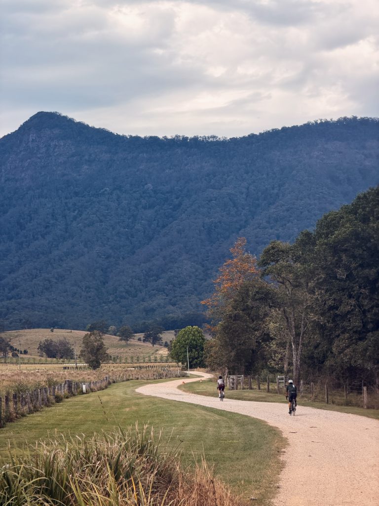
This was easily one of our favourite sections of the entire loop. The road winds quietly alongside the creek, offering beautiful scenery and a smooth surface that lets you settle back into a rhythm.
After kilometres of gravel vibration and concentration, it was a welcome opportunity to relax, enjoy the surroundings and appreciate the ride.
The combination of winding roads, lush greenery and the creek running alongside makes this stretch particularly memorable.
From here, the road towards Uki becomes relatively flat and fast. Traffic picks up a little on the approach to town, but the busier section doesn’t last too long.
If you’re riding this loop for the scenery as much as the kilometres, Byrrill Creek is a highlight you won’t want to rush through.
6. Uki: Time for a Well-Earned Burger (72–99 km)
By the time we reached Uki, we were ready for a proper food stop.
We decided to stop at the Mount Warning Hotel and try the recommended Uki Works Burger. It was a great decision, and we’d happily recommend it to other riders taking on this loop.
Uki is an ideal place to break up the ride, recharge and enjoy a little of the local atmosphere before heading back towards Murwillumbah.
Food options can be limited along the more remote sections of this route, so it’s worth planning your stops in advance rather than assuming you’ll find somewhere to refuel whenever you need it.
After lunch, we continued towards Murwillumbah via Stokers Siding and Fernvale.
This is where the ride begins to feel a little different. The earlier gravel adventure is behind you, but the climbing isn’t over yet.
The roads around Fernvale were another highlight, with quiet countryside, beautiful scenery and a more relaxed atmosphere. Most of the climbs on this section are relatively short, generally around 300–600 metres in length, although the longest is approximately 2 km.
They aren’t necessarily long climbs, but after 70-plus kilometres of mixed terrain, they’ll certainly keep your legs working.
7. Tumbulgum to Bilambil: Sugarcane Fields and the Terranora Climb (99–133 km)
As we continued towards Tumbulgum, traffic became noticeably heavier.
This section includes around 8 km of relatively flat riding through sugarcane fields and past the local sugar mill. It’s not the most exciting part of the route, but it connects you to the next scenic stretch.
At Tumbulgum, we turned near the pub and crossed the Tweed River before tackling a short gravel section. The surface here was straightforward compared with the earlier national park trails, so it shouldn’t present the same technical challenges.
Then came the Terranora climb.
This was a beautiful change of scenery, with a quiet, gradual ascent that felt much more inviting than the rougher climbs earlier in the day. Once at the top, a fast descent takes you towards Bilambil.
It’s a great section to enjoy the flow of the road while still keeping an eye on the terrain and traffic.
By this point, you’ll have covered a substantial distance, so pace yourself and save enough energy for the final stretch.
8. Urliup: The Final Adventure (133–140 km)
Just when you might think the ride is nearly over, Urliup delivers one more scenic adventure before you return to Murwillumbah.
This final section takes you along quiet back roads, through beautiful countryside and into a rainforest setting, with another gravel segment along the way.
Compared with the first two national park gravel sections, the surface here felt much more manageable. It was a lovely way to finish the mixed-terrain portion of the ride without another major technical challenge.
The real highlight comes after reaching the top: a fast, winding descent with open views of the road ahead.
It’s the kind of descent that makes you appreciate the freedom of riding in the countryside, with the landscape unfolding around every corner.
The route eventually brings you out near the bottom of the Tomewin climb, leaving roughly 5 km back to the starting point in Murwillumbah.
After 140 km of tarmac, gravel, fire trails, climbs and descents, you’ve earned that post-ride feast.
Our Verdict: Is the Wollumbin / Mt Warning Loop Worth It?
Absolutely.
The Wollumbin / Mt Warning Loop is a fantastic option for riders looking to explore beyond Brisbane and experience a different side of Northern NSW.
What makes this route special is the variety. You’re not simply riding a long loop on quiet roads. You’re moving between different landscapes and riding conditions, from the foothills of Wollumbin to remote national park trails, peaceful creekside roads, charming country towns and winding rural descents.
It’s adventurous without being a dedicated mountain biking route, and scenic without being a simple sightseeing ride.
We completed it on road bikes, but we’d recommend a gravel bike for anyone planning to ride the route. The rougher sections through Wollumbin and Mebbin National Park are where wider tyres and better grip will make the biggest difference.
It’s also worth checking weather and trail conditions beforehand, particularly after rain, and carrying enough food, water and basic repair equipment for the more remote sections.
For Brisbane riders looking for their next weekend adventure, this loop is well worth the hour-plus drive south.
It’s not your typical ride, but it’s definitely not a boring one.
And that’s exactly what we love about exploring by bike.
Wollumbin / Mt Warning Loop: Ride Summary
| Ride detail | Summary |
|---|---|
| Total distance | Approximately 140 km |
| Starting point | Knox Park, Murwillumbah |
| Terrain | Sealed roads, gravel and fire trails |
| Bike recommendation | Gravel bike preferred, road bike possible with caution |
| Main highlights | Wollumbin National Park, Back Creek Road, Mebbin National Park, Byrrill Creek, Uki and Urliup |
| Best food stop | Mount Warning Hotel, Uki — Uki Works Burger |
| Main challenges | Loose and rocky gravel, steep pitches, long distance and traffic on connecting roads |
| Ideal conditions | Dry weather and firm trail surfaces |
| Overall verdict | A scenic, adventurous mixed-terrain loop worth the drive from Brisbane |
Pedal Brisbane’s recommendation: Add this one to your weekend adventure list if you enjoy exploring new roads, discovering hidden gems and getting a little further off the beaten track. Bring your gravel bike if you have one, check the conditions before you go, and leave enough time to enjoy the ride rather than just chasing the kilometres.
Ride safe, respect the local communities and national parks, and always check road access and current trail conditions before setting off.
Tips:
-. Check the forecast as the gravel bit can be quite gnarly
-. use the right bike for it
Cafe Option:
-. Mount Warning Hotel
-. Hossana Farmstay